
We had a rain event last week that gave us about one and three quarter inches over three days and it brought up water levels in the Creek. Although the water in the channel was about a foot and a half higher than it was last fall, it dropped back lower in another couple of days. Last year was dry compared to the two previous years; even the ground water table has gotten lower. So, the habitats for plants and animals have really changed a lot from the record wet years in 2018 and 2019; even last spring there was still water in the oxbow.
When a channel meander broke through back in 2014, the cutoff formed an oxbow that’s been a busy place. When the habitat changed from open channel to wetland and pond, the plants and animals adjusted accordingly. Now, the wetland and pond are totally dry and the higher Creek levels didn’t even help. The water would have to be about three feet higher in order to flood into the oxbow and restore the wetland and pond. So, the changes from channel to wetland/pond have now progressed to mud flats and grassed areas.
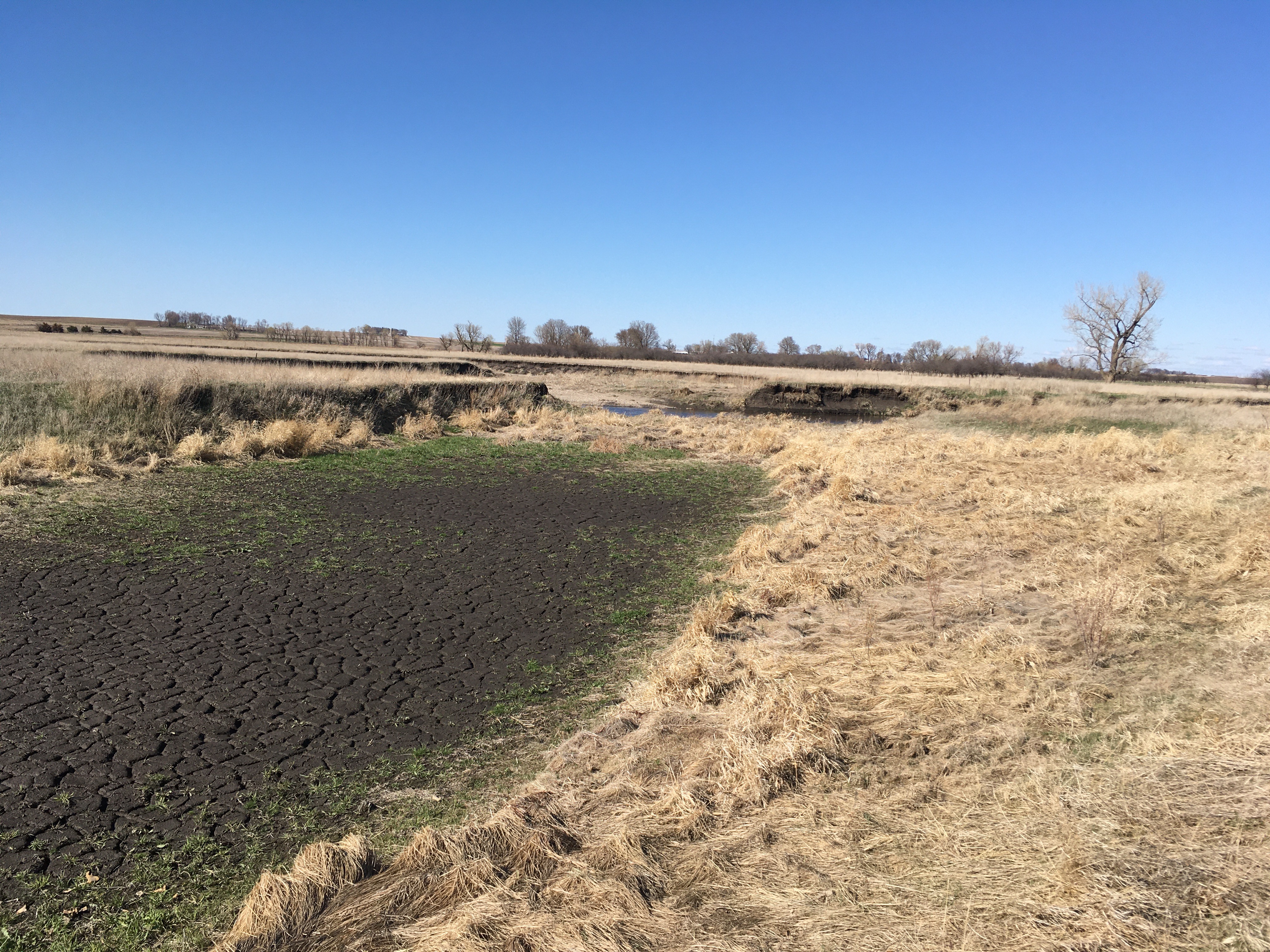

The oxbow has a series of specific parts that we’re going to tour through to show the latest changes. The “upstream plug” is sediment deposited when water from the channel flows into the meander. It’s gotten to be so high that plants have established a footing. Last year’s brown grass now extends across the mouth of the oxbow and this season’s new green vegetation is starting to grow out into the mud flat. Looking the other direction into the wetland, it’s all dried up wetland bottom with mud cracks where there used to be water. The area of brown grass in the middle was an “island” last year and this is the area where rare cricket frogs and Topeka Shiners hung out. There’s no place for them this year unless water levels come up a lot and the oxbow is flooded again.
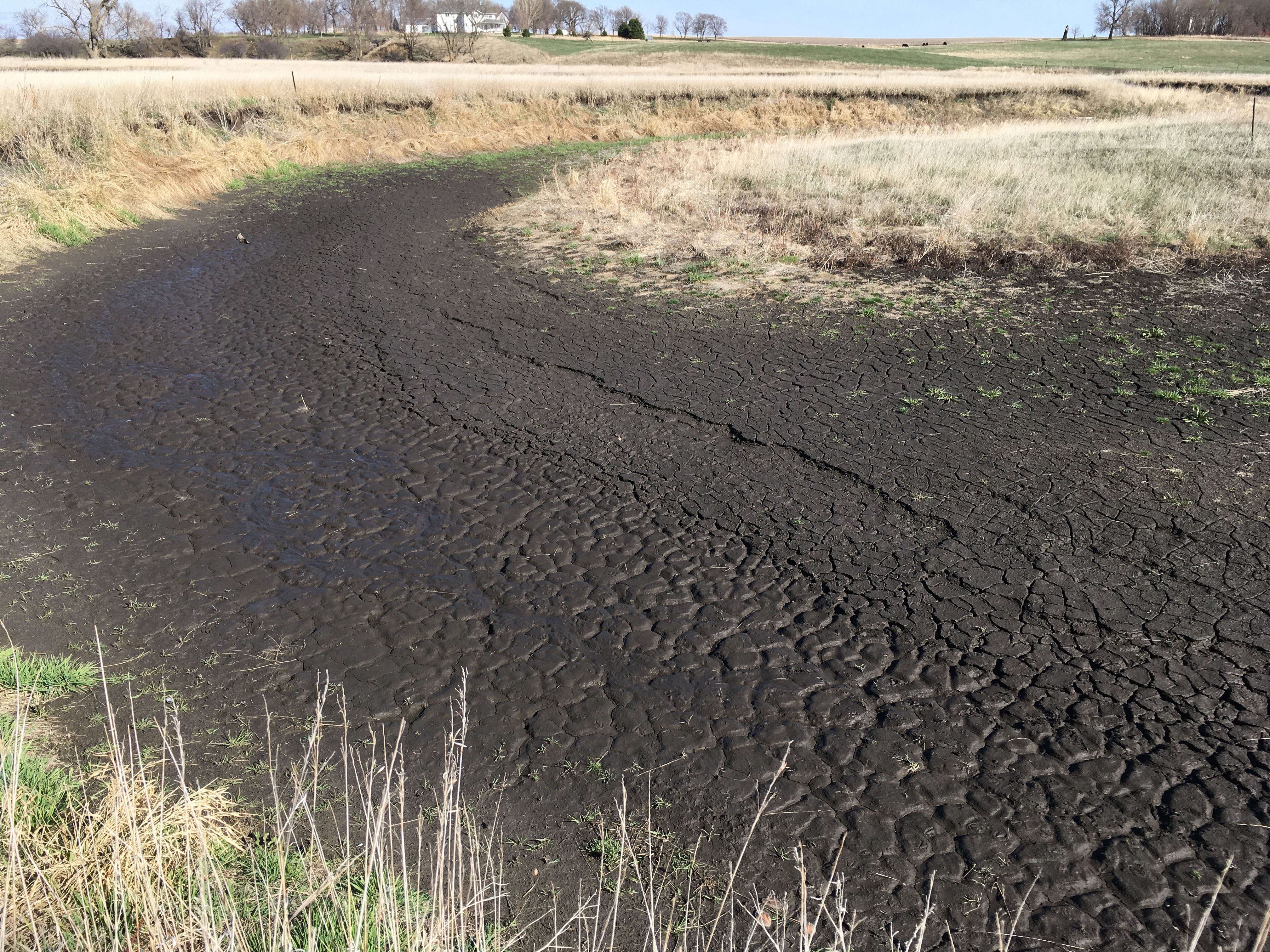

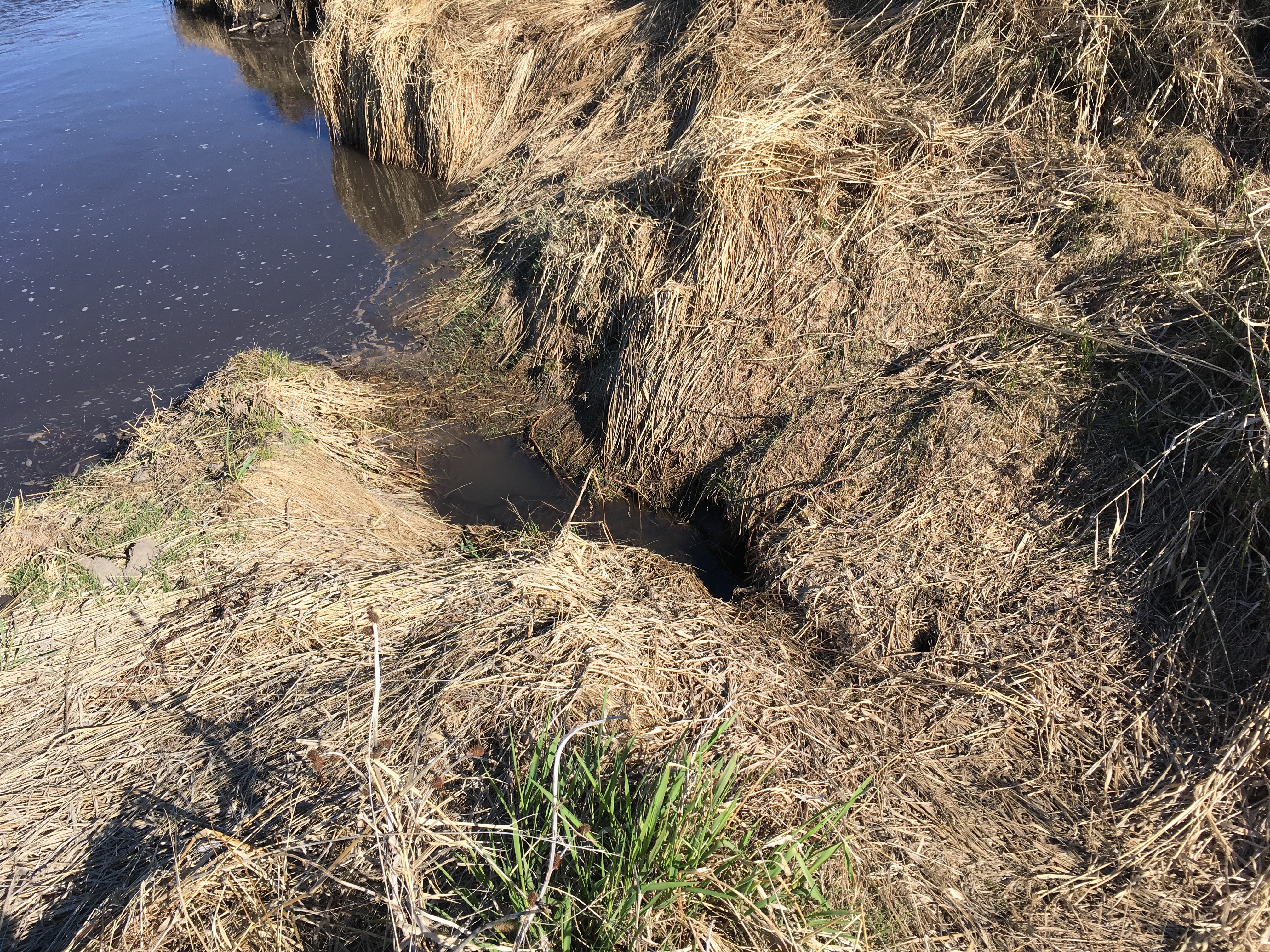
The pond at the north end is usually relatively isolated from the wetland to the south, but not now. What was once under water is now all black and cracked mud. The slight line in the mud right below the brown vegetation marks a former water level in the pond. It held water later than the wetland last fall because the pond tapped into a groundwater aquifer and that supported the higher water levels longer. The yellow arrows point to dead clams/bivalves that lived along the edge of the pond. That photo also shows a close up of the desiccation cracks that form when the mud dries out. Things have changed a lot in the old pond basin.
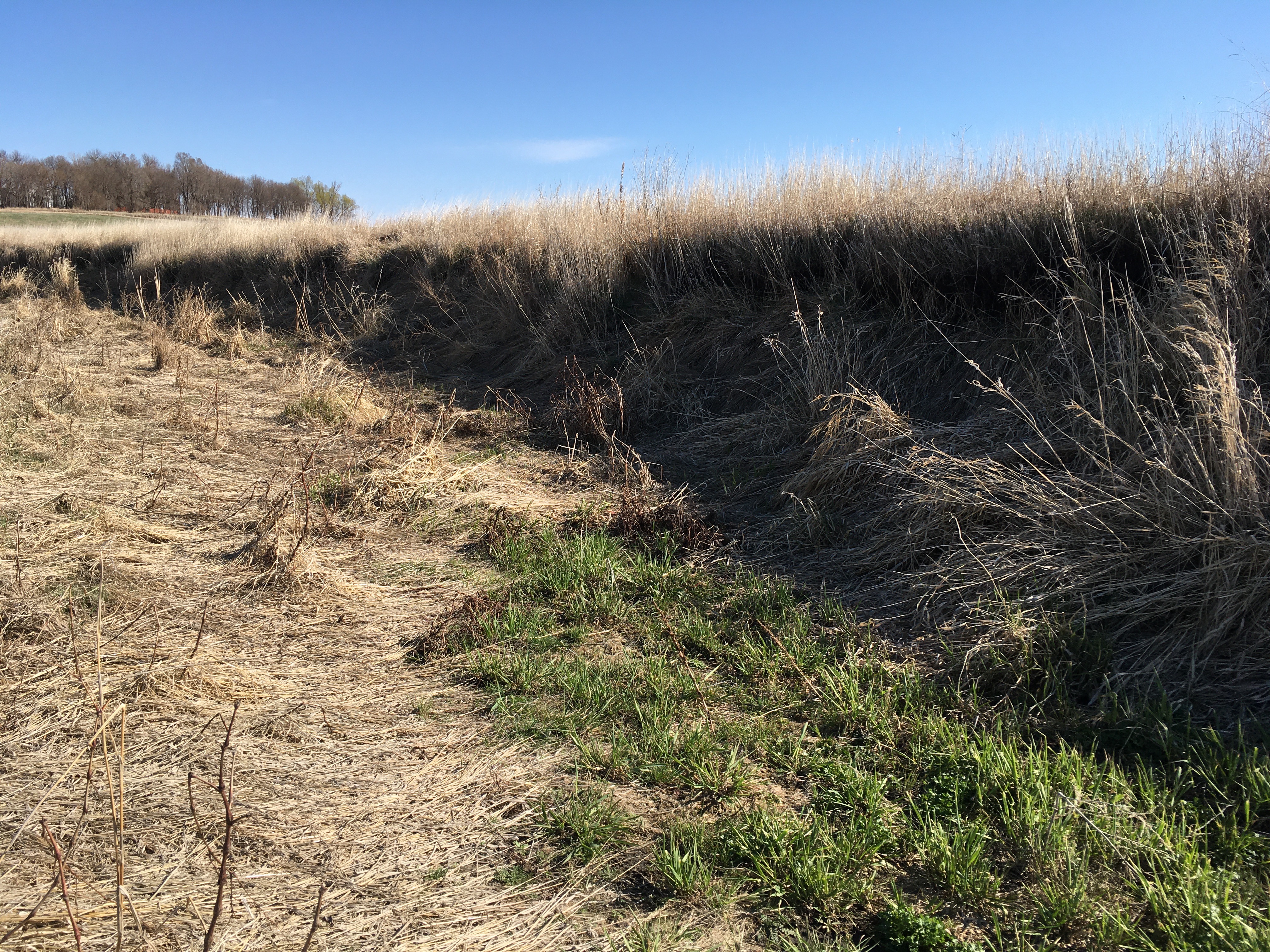
Originally the pond was connected to the main part of the Creek through a “tie channel” that let water in or out depending on the relative levels in the pond and main channel. But, not these days! Last year, grass totally took over and this season’s new green grass is already established where there once was water. Closer to the main channel, the “downstream plug” is completely grassed over, but it does have a small grove eroded when the water was slightly higher. However, like the upstream plug this pile of sediment at the downstream end of the oxbow has grown high enough to make it hard to get water in to or out of the abandoned meander. Once the vegetation is established, it acts as a baffle that slows down any channel water that comes in. That means the dirt carried by the water will be deposited and the oxbow will become even more isolated from the water in the main channel.
The state and federal agencies that have been monitoring landscape changes, fish, and frogs will probably not be doing much in the oxbow this year. The habitats have adjusted from open channel to wetland and pond to dry grassed areas. In a similar way, the human institutions have changed too. The agency that oversees the measurement of stream conditions (including my observations at the Stateline Bridge) in Minnesota is understaffed, so the start of this year’s season of citizen monitoring will be delayed. Change happens.
