
Last week we had another ground blizzard similar to the one that we had back in mid-December. Both of these storms had lots of wind. The “dust of winter” made it possible to “see” the wind.
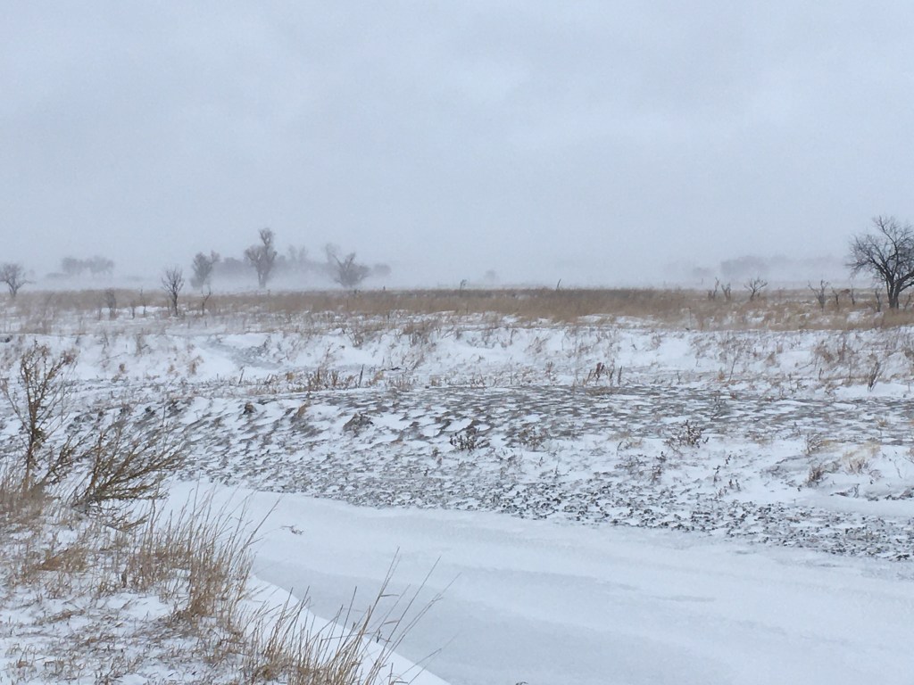
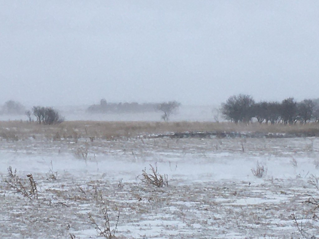
What little snow there was, came in horizontally and in gusts that made visibility variable. You can see the haze of blowing snow close to the ground in these photos. The tall trees stick up above the ground “fog”, while the lower plum thickets come and go with the gusty wind. It makes for a really dynamic and changing landscape, but it also made the roads slippery and dangerous. It’s much nicer to watch it through the windows and in the warmth, rather trying to drive someplace that we have to be.
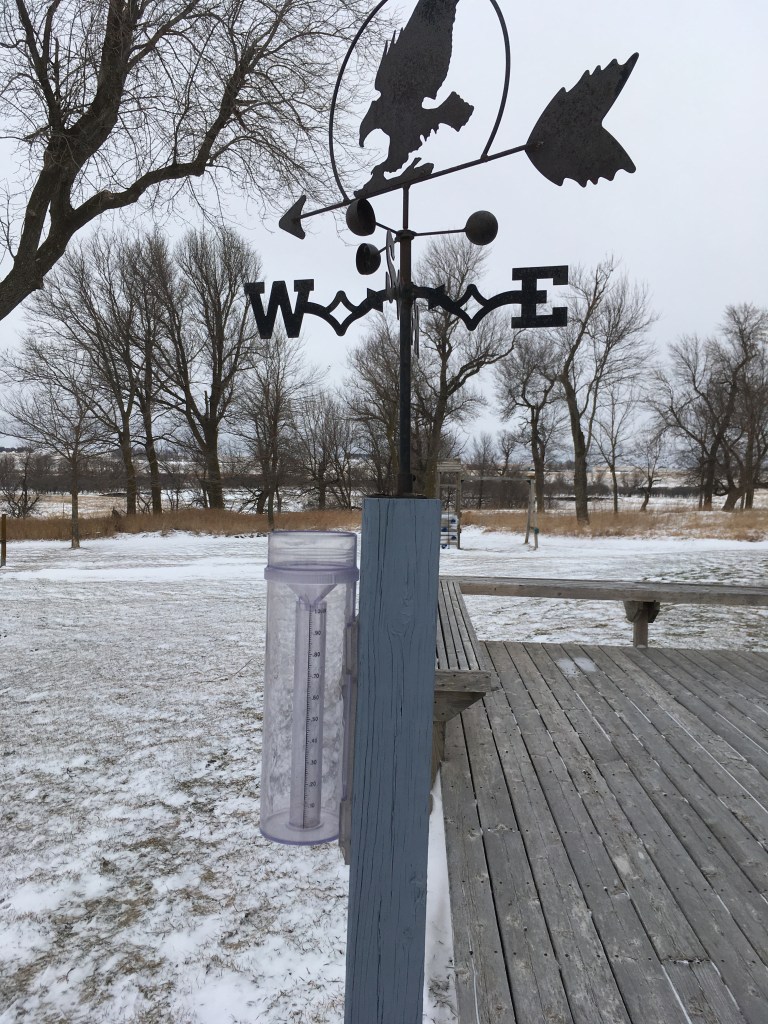
Last week included January 12, which is the day that the Children’s Blizzard hit in 1888. I don’t remember any stories from the homesteaders about that storm, but Rose’s History of Rock County has a description of local conditions. There’s also a 2004 book by David Laskin that describes lots of sad stories, but it includes an early history of the need for and origin of the National Weather Service. That’s why there’s a photo of our primitive weather station. However, it’s hard to accurately measure sideways snow. The Children’s Blizzard is also the subject of a new novel by Melanie Benjamins that is this year’s selection for “One Book South Dakota”. I haven’t read it yet, but I plan to because it’s set in southeastern South Dakota.
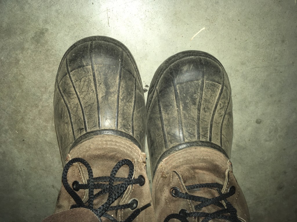
The photo of the dusty boots is from the warm, dry days before the storm hit last week and provide a transition into another way we can watch the wind. There are some stories of the Dust Bowl Days in our family tradition. Dad played baseball in high school and he had a game canceled one afternoon because of poor visibility. There are also low ridges along many old fence lines where wind-blown dirt drifted in from the adjacent fields back in the 1930s. Actually, you can still see that going on with wind erosion of bare fields and deposition of the black dirt on the white snow that fills road ditches.


Long before the Dirty Thirties back when there were glaciers in this area, there was a lot of dust blowing around off the front of the melting ice. The regional map on the left shows that the immediate tri-state area was located between two separate glacial lobes, so there was much dust in the air. This “rock flour” was ground-up rock material that was liberated when the ice melted and it settled over everything in the area beyond the glacier’s margin. This wind-blown dust (called “loess”) is shown as the dark tan area on the left side of the more detailed colored map. The location of the Farm is also shown because we’re in that loess-covered area.
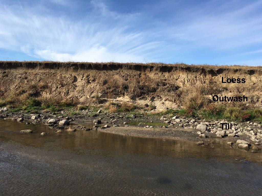
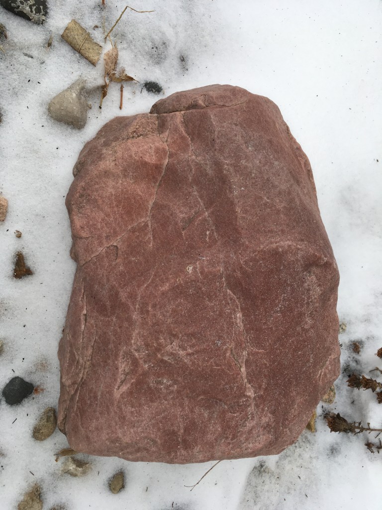
The photo on the left illustrates the loess over-lying a layer of older glacial gravel in a terrace along the Creek. But, there’s other evidence on the Farm for wind activity during the Ice Ages. The boulder on the right is probably a “ventifact” that was polished and faceted by wind-blown dust. We found it when we put in a drainage tile because it was buried several feet deep. I hauled it up to our house as a curio.
Ironically, while the blizzard was raging last week, I had an exchange of emails with a former colleague about wind erosion and ventifacts from glacial times. She reminded me that many of the polished surfaces on red quartzite outcrops in the area, have been interpreted as buffalo rubbing up against the rock. That idea of buffalo polishing the hard rock might be an alternative explanation for super-smooth surfaces. But, my little curio boulder is too small for a buffalo rubbing station. It was probably polished and faceted by dust blown around in the wind, just like the snow in the ground blizzard.
I’m posting this today because the wind is blowing like crazy (20 to 30 miles per hour out of the northwest)! It is the prairie, after all! But, it’s not just snow or dust that’s swirling around in the air. It’s also change.
